Destination briefing
Why travelers stop here
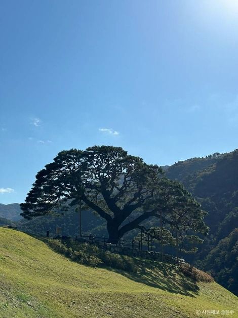
Sangjeongbawi Mountain, at an elevation of 1,006m, is the southern mountain that appears in the lyrics of Jeongseon Arirang, located to the south when viewed from Auraji. The climb up Sangjeongbawi Mountain is steep all the way, and from the summit, you can see the Joyang River flowing around three sides. At the summit, you can also see a terrain resembling the shape of the Korean Peninsula. An informational sign states, 'The swirling and winding Joyang River waterway appears as the East Sea, South Sea, and West Sea surrounding the Korean Peninsula, the part surrounded by the river looks like mountains and fields including the Baekdudaegan, and the National Route 42 passing on the opposite side looks like the border with China.' Since not many people visit Sangjeongbawi Mountain, the ridge path to the summit may occasionally be obscured by grass and forest, so beginners are advised to hike with an experienced climber.
OTA-ready stop
Built into inbound routes and day-tour planning.
Local context
강원특별자치도 정선군 북평면 문곡강변길 505 (북평면)
Travel fit
Attraction · Gangwon-do
![[Early bird] Elysian Gangchon Ski & Snowboard Gugok Ice Wall Tour](/_next/image?url=https%3A%2F%2Fadmin.holidaykr.com%2Fapi%2Fadmin%2Fsystem%2Fbasic-settings%2Ffavicon%3Fpath%3D%252Fuploads%252Fproducts%252Fthumbs%252F750_1791455110103_file1.jpg&w=3840&q=75)